
Drone Surveying Services for Building Inspection
Drone Surveying – Small Unmanned Aircraft (SUA)Drone Survey: An Innovative Solution for Enhanced Accuracy and Efficiency
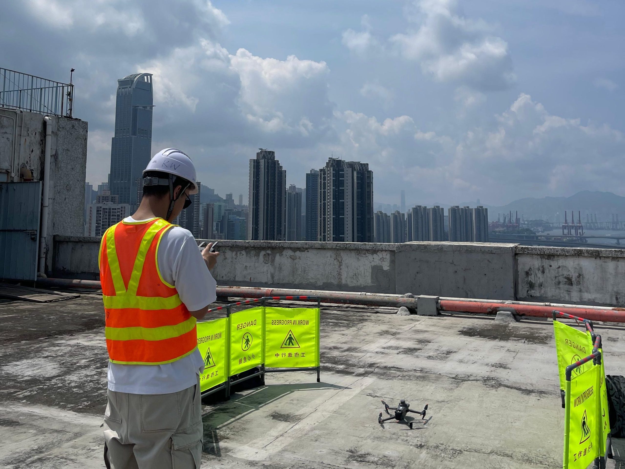
What is Drone Survey?
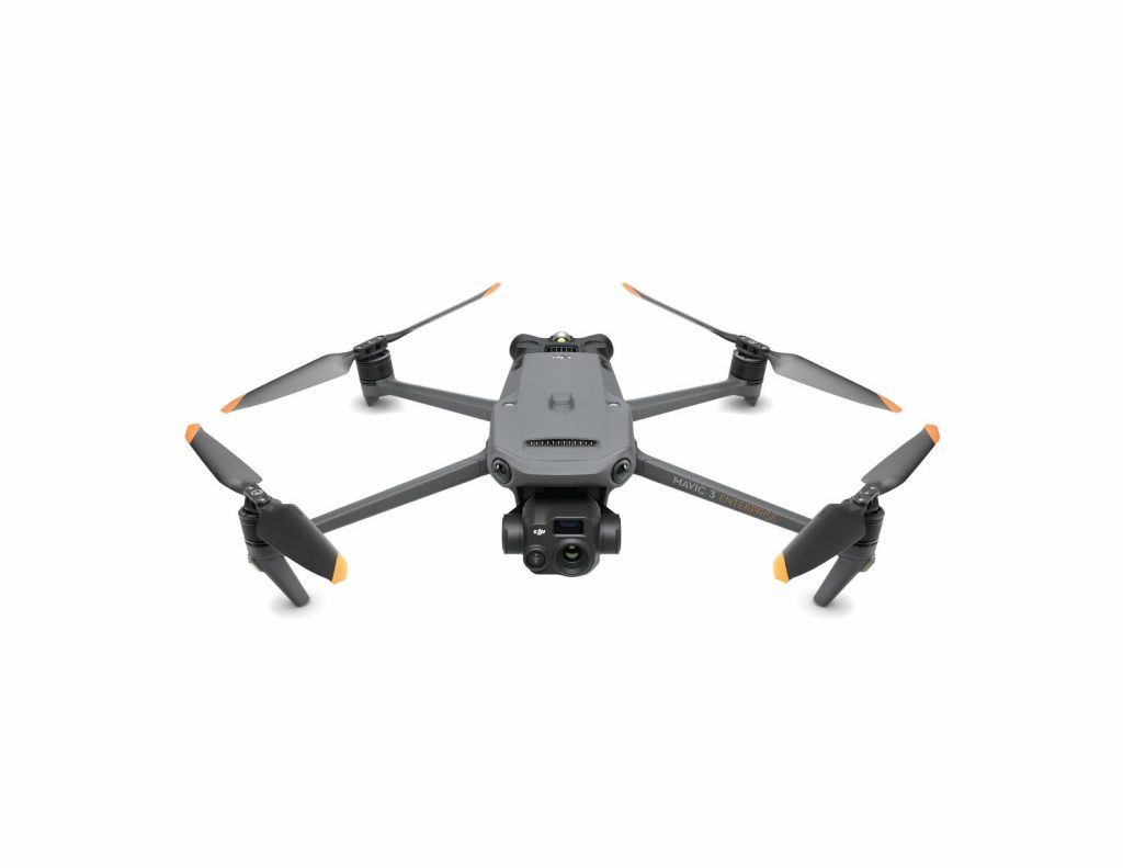
Drone survey refers to the use of small unmanned aircraft (SUA) to conduct building inspection surveys and data collection. This advanced technology significantly improves measurement accuracy and reduces operational time, making it widely applicable in construction, agriculture, environmental monitoring, and more.
With the rapid development of advanced technologies, customer expectations for building inspections have been increased. As the Small Unmanned Aircraft (SUA) has a huge potential to tackle the limitation of building inspection. We fully encourage Small Unmanned Aircraft (SUA) as efficient tools for building inspection. The use of Small Unmanned Aircraft (SUA) improves the efficiency of collecting information and provides accurate data to quickly identify the problem areas like cracks, water seepage, spalling concrete/tiles, debonding area etc. In addition, the Small Unmanned Aircraft (SUA) also provides aerial photography to constrctuct the 3D modelling of the building. It’s cutting edge technology, efficiency and effectiveness.
Key Advantages of Drone Survey
- Comprehensive Building Surveys: We conduct thorough inspections of facades, roofs, and other hard-to-reach areas.
- Thermal Imaging: Our drones can detect water leaks, insulation deficiencies, and electrical hotspots using infrared cameras.
- AI-Powered Analysis: We use artificial intelligence to analyze inspection data, providing accurate and actionable insights.
- High-Precision Data: Drones equipped with high-resolution cameras collect accurate geographic data, generating quality maps and 3D models.
- Enhanced Safety: Drones can easily access hazardous or hard-to-reach areas, minimizing the risk of injury to personnel.
- Diverse Data Collection: Drones can carry various sensors, such as thermal imaging and LiDAR, providing multiple data types to meet different needs.
Applications of Drone Survey
Urban Planning: Urban planners utilize drones for terrain analysis to develop better city growth strategies.
Construction and Engineering: Drones monitor construction progress, conduct site surveys, and provide real-time reports; esepcially useful in external wall inspection.
Agricultural Management: Farmers use drones for crop monitoring, soil analysis, and irrigation management to enhance yield.
Environmental Monitoring: Drones track changes in ecosystems, deforestation, and water resource management.
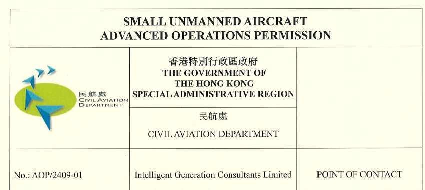
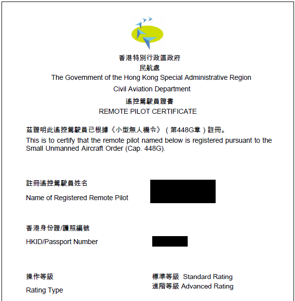
Onlist Advanced Operatios Persmission Holders (Civil Aviation Department)
According to the Small Unmanned Aircraft Order (Cap.448G), our company has fulfilled the legal requirements, including the registration and permit. All remote pilots had undergone appropriate training, assessment and obtained Small Unmanned Aircraft Operations Permission, allowing them to engage in activities such as drone surveying and other engineering tasks.
Please refer to the website of Civil Aviation Department (HKSAR):
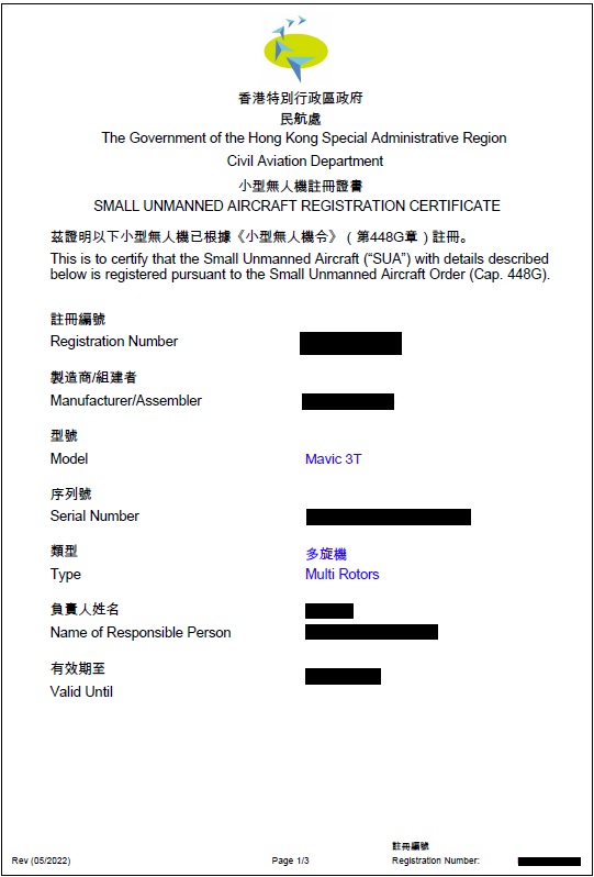
Small Unmanned Aircraft (SUA)
Job Reference shared by using Small Unmanned Aircraft (SUA)

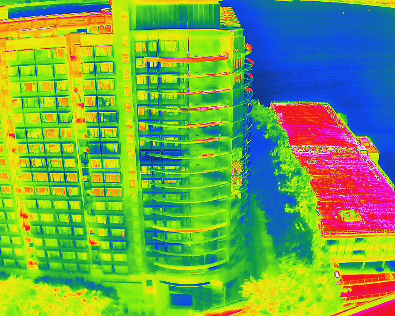
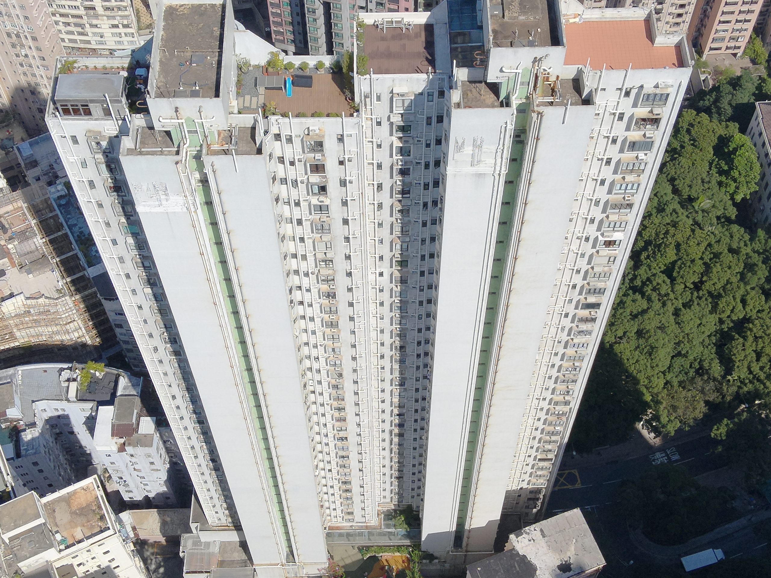

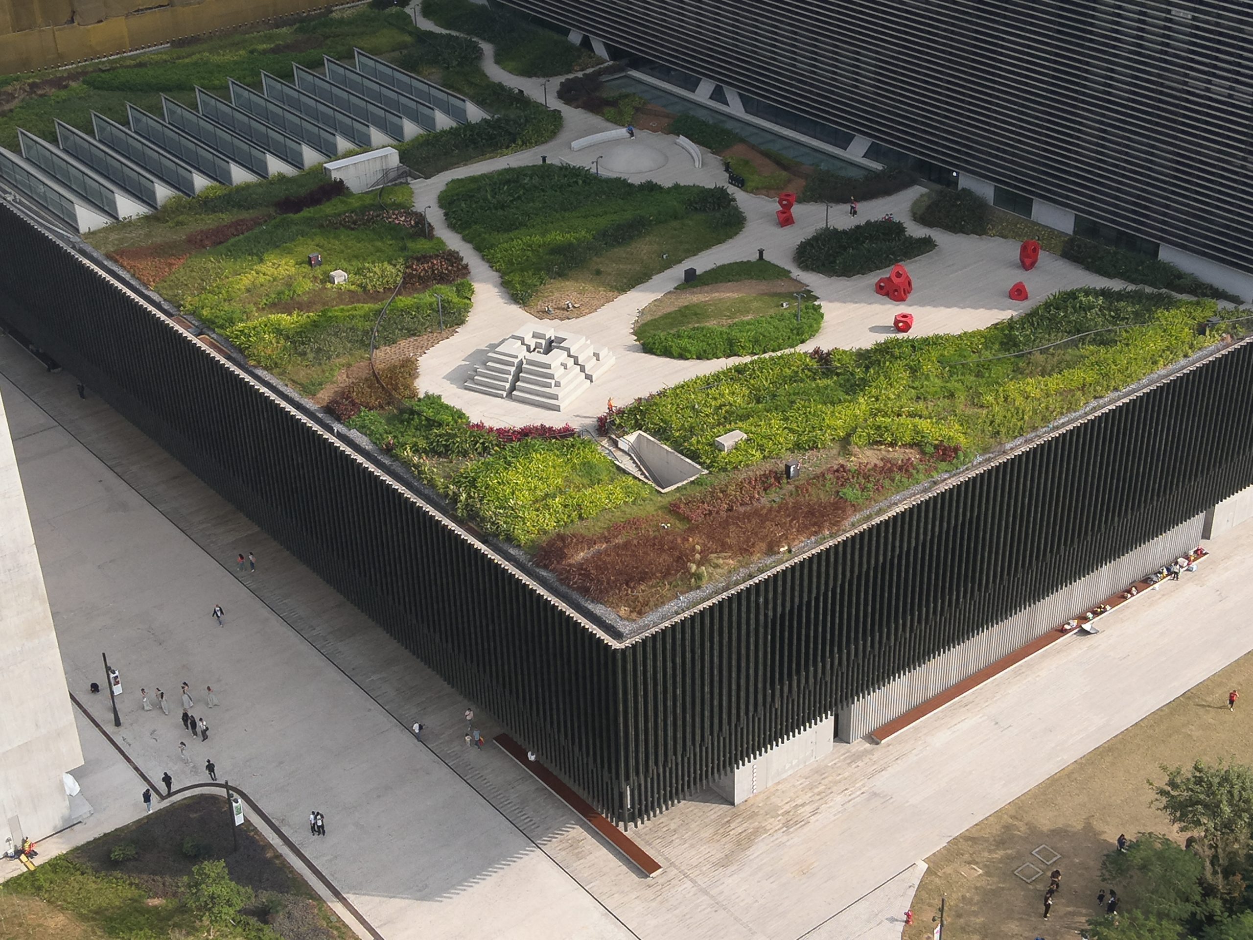
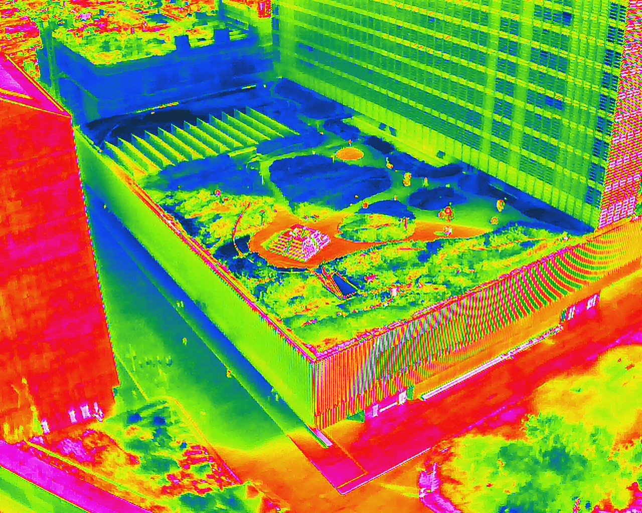


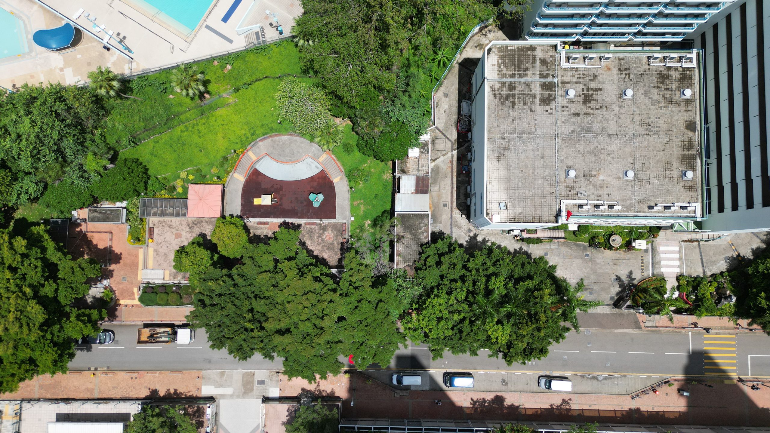
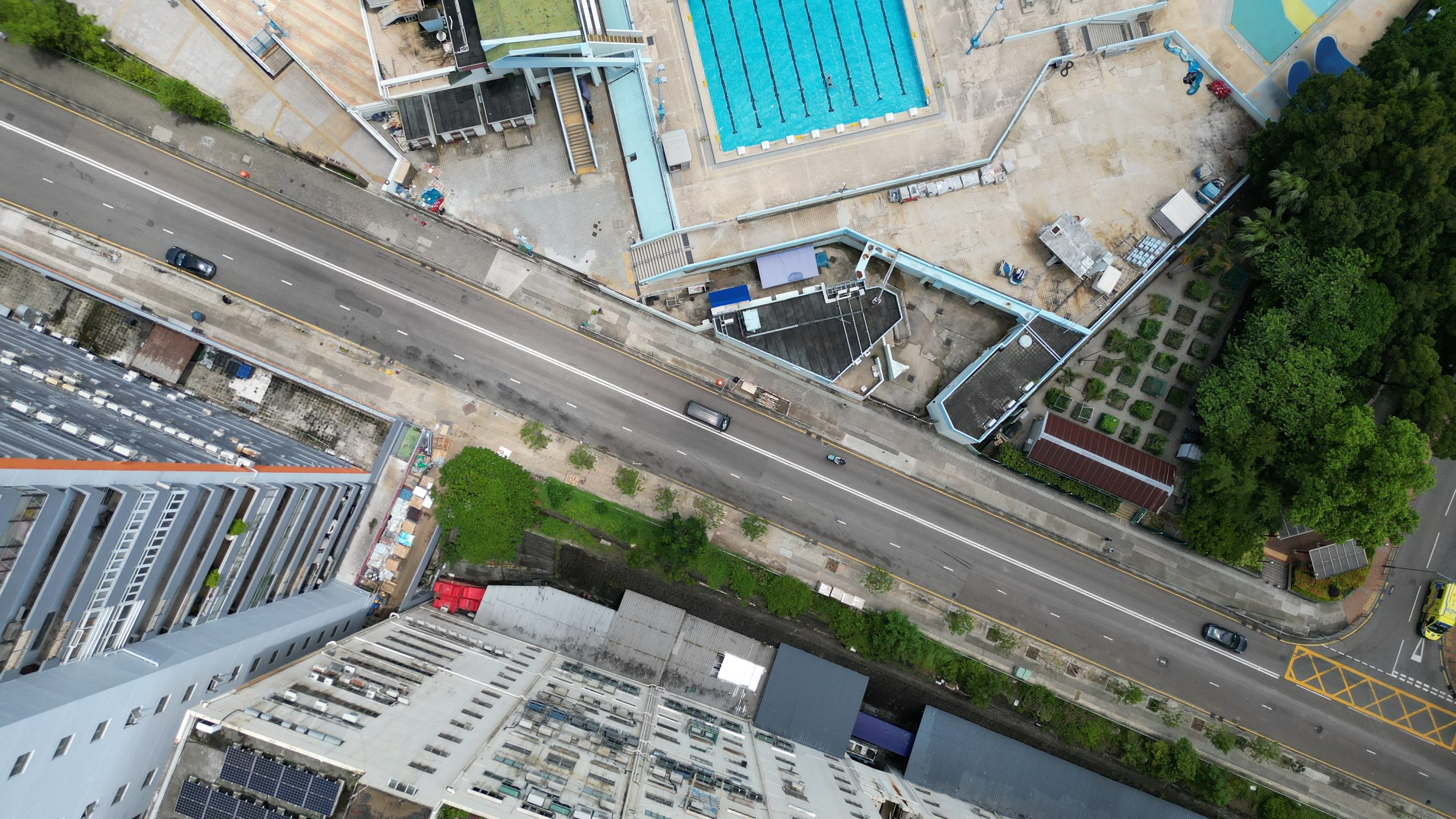

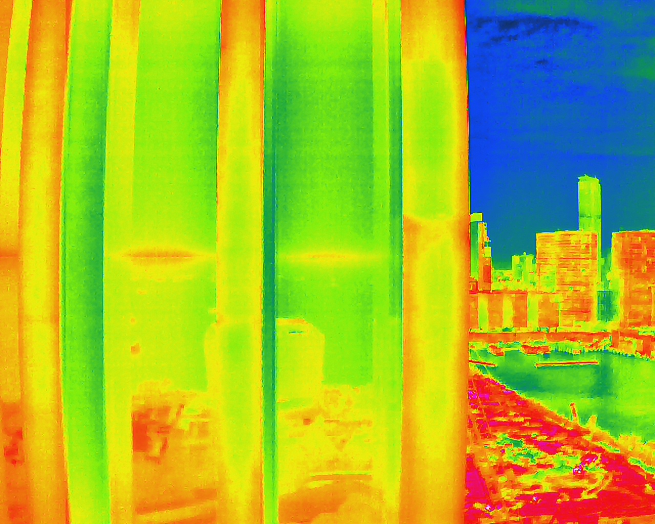
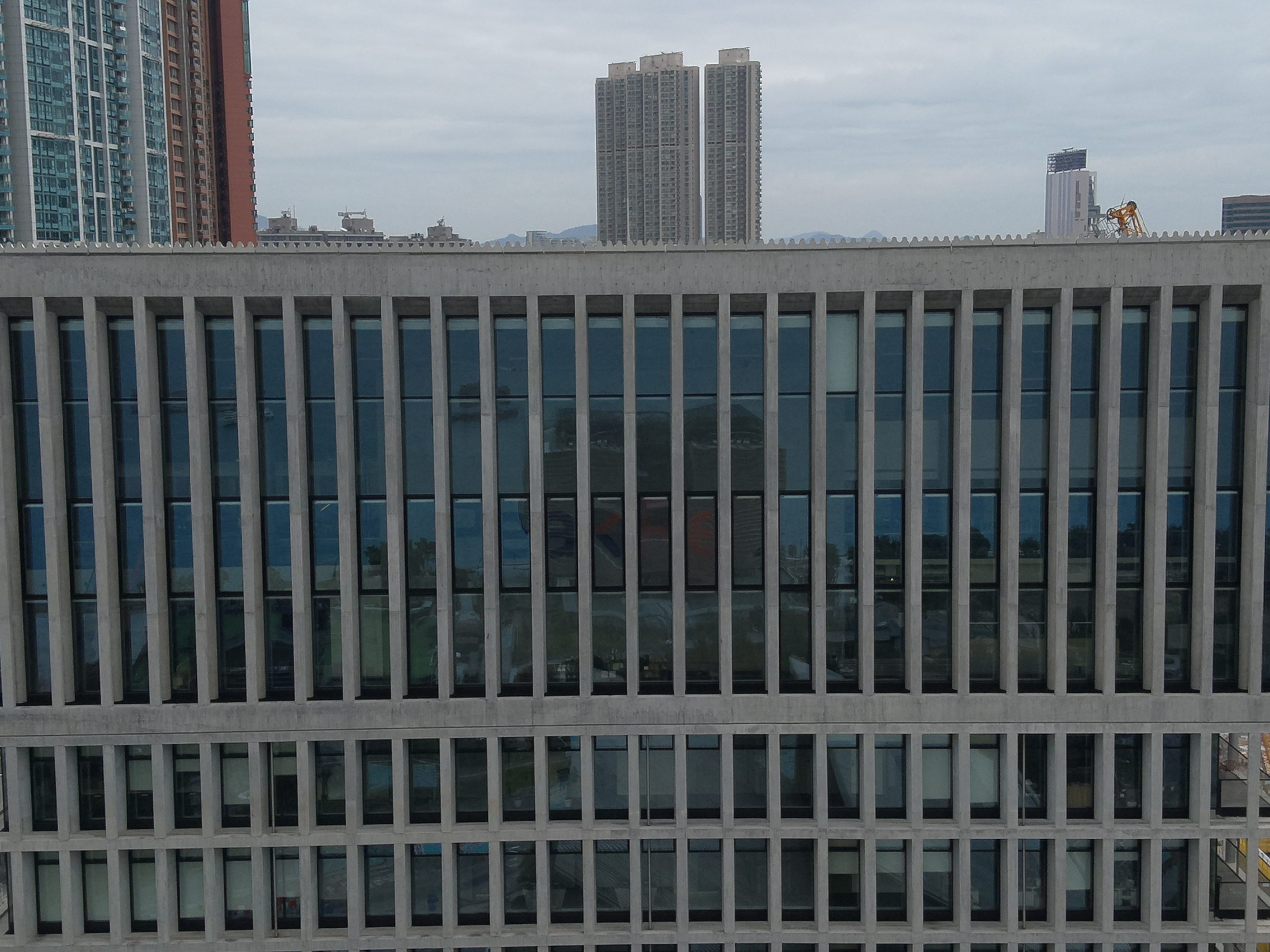

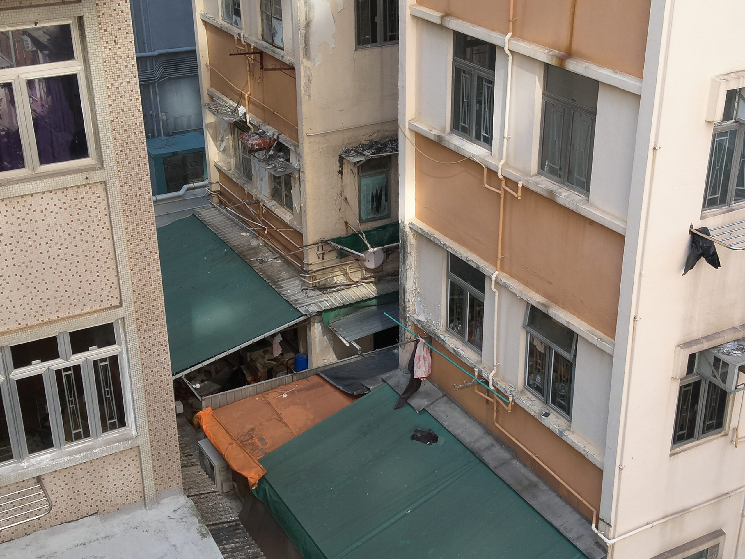
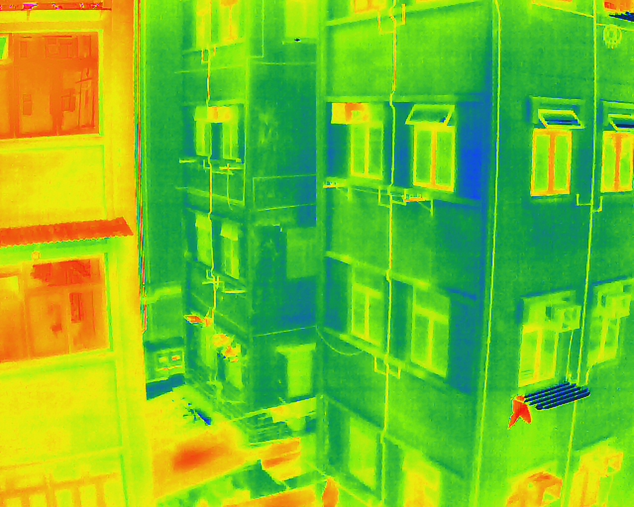


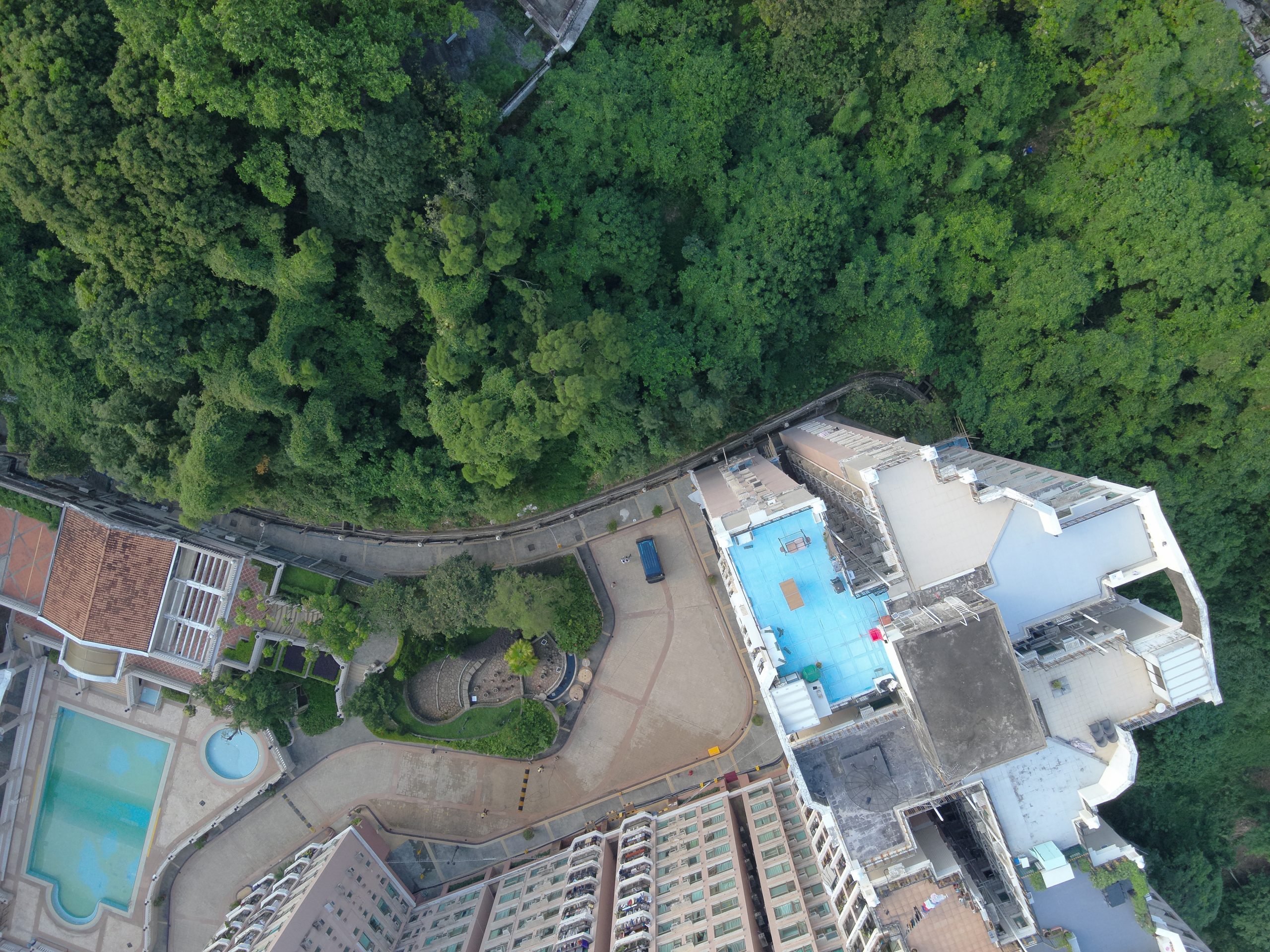

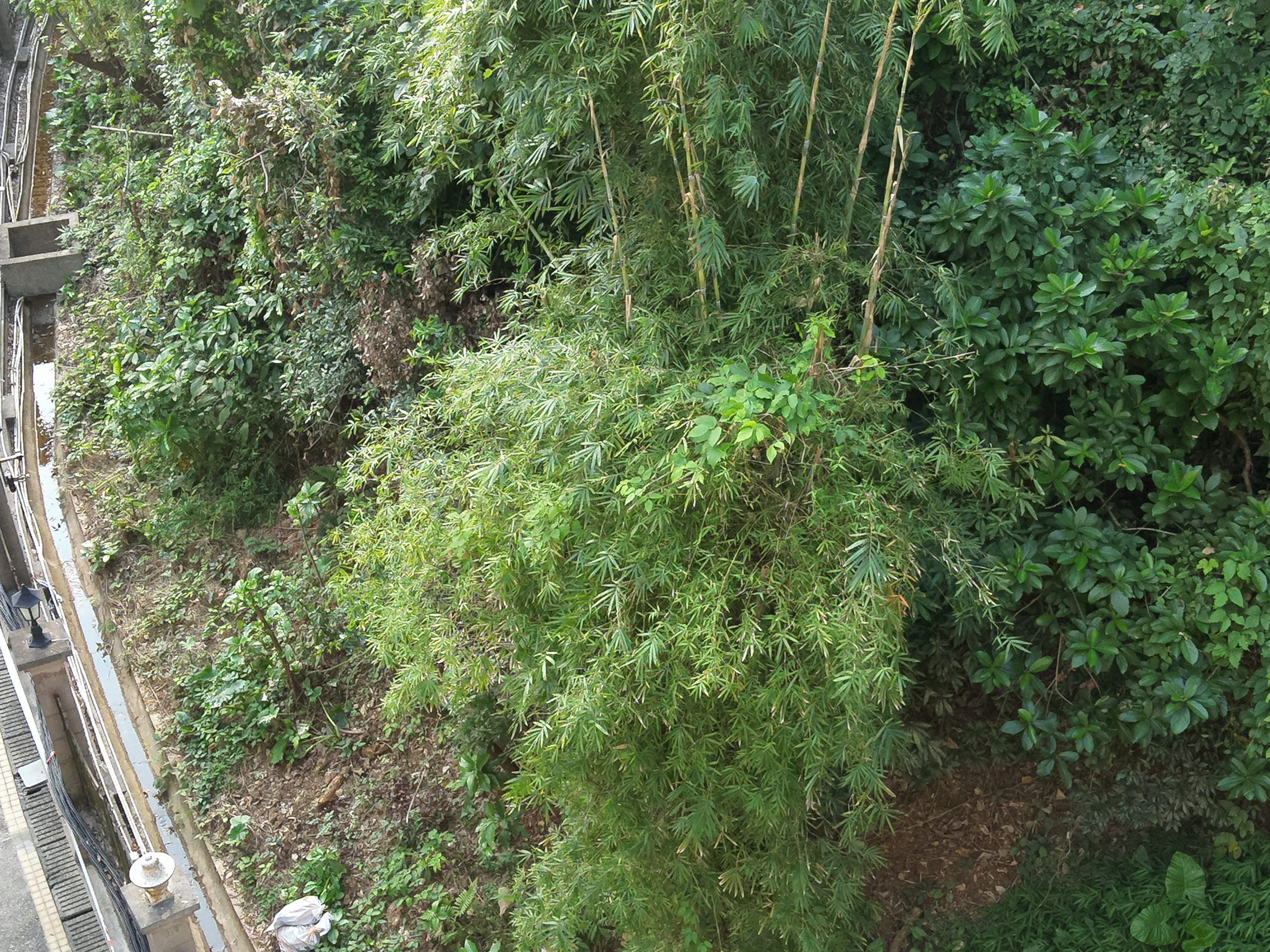


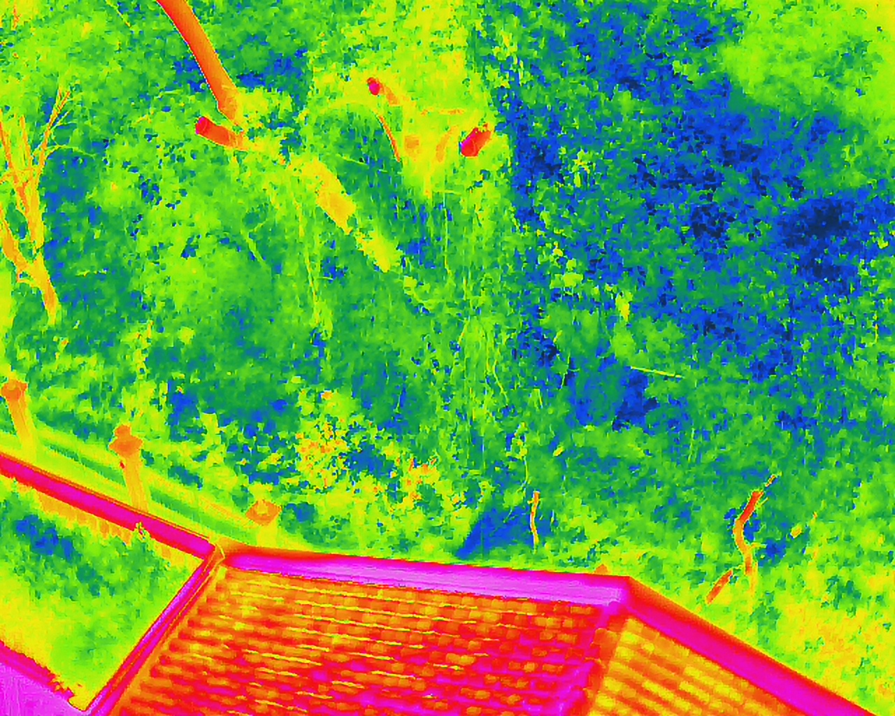
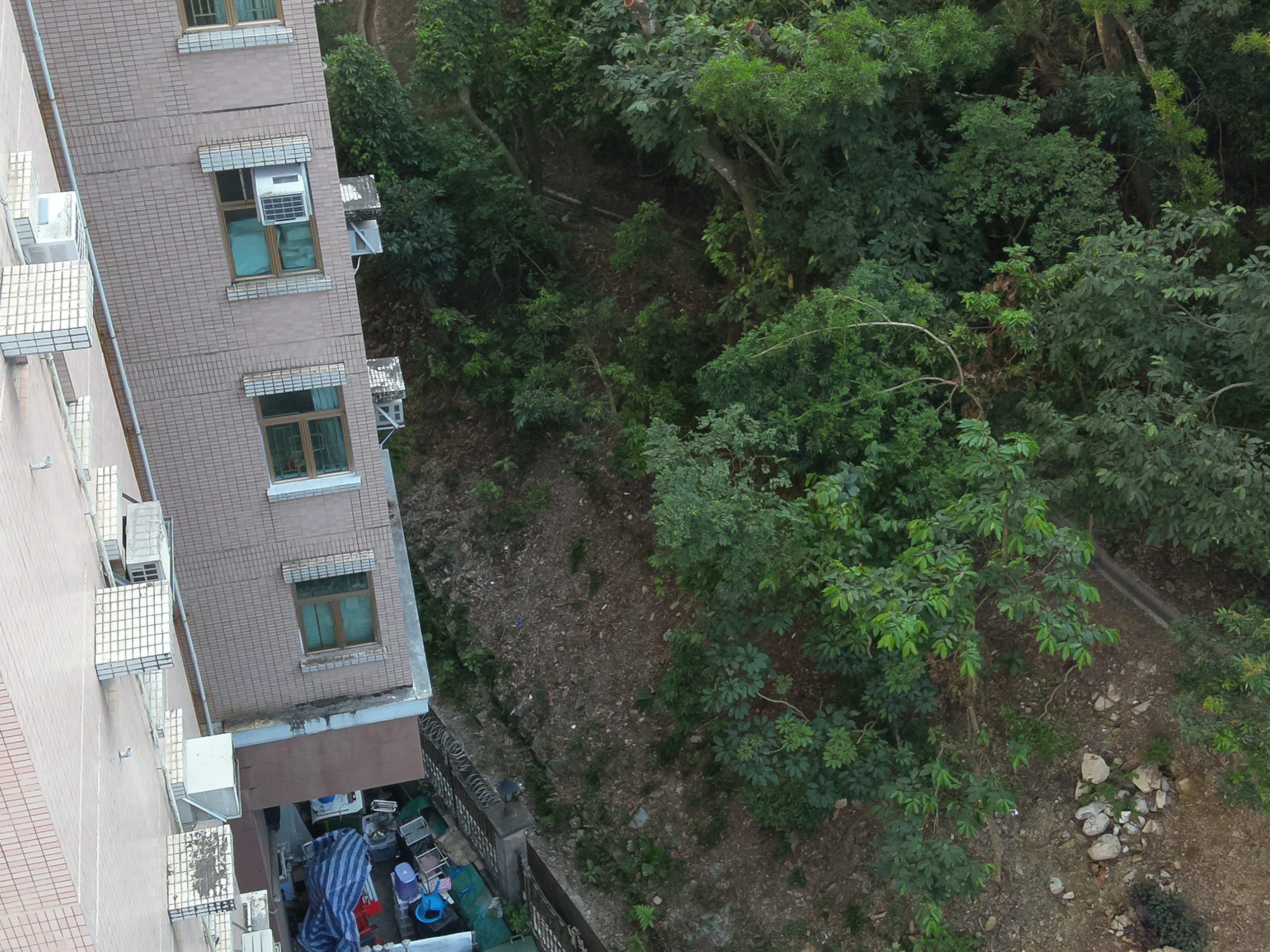

Drone survey technology is rapidly becoming an essential tool across various industries, offering precise, efficient, and safe data collection methods. As technology advances, the applications of drone surveys will continue to expand, transforming how we work.
For more information about drone surveys, please contact us, Tel: 2698 9198 WhatsApp: 5161 3318 (24 hrs hotline).